Latitude: 53.2599 / 53°15'35"N
Longitude: -0.5151 / 0°30'54"W
OS Eastings: 499149
OS Northings: 374684
OS Grid: SK991746
Mapcode National: GBR SZVR.84
Mapcode Global: WHGJ0.1BZ7
Plus Code: 9C5X7F5M+XX
Entry Name: Stables at Nettleham Fields Farmhouse
Listing Date: 21 June 1985
Grade: II
Source: Historic England
Source ID: 1064119
English Heritage Legacy ID: 196926
ID on this website: 101064119
Location: West Lindsey, Lincolnshire, LN2
County: Lincolnshire
District: West Lindsey
Civil Parish: Nettleham
Traditional County: Lincolnshire
Lieutenancy Area (Ceremonial County): Lincolnshire
Church of England Parish: Nettleham All Saints
Church of England Diocese: Lincoln
Tagged with: Stable
SK 97 SE NETTLEHAM LINCOLN ROAD
6/54 Stables at Nettleham Fields Farmhouse
G.V. II
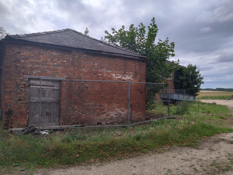
Former stables and granary over, now garaging. Early C19 with C20 alterations. Red brick with ashlar dressings and hipped slate roof. L-plan. 2 storey, 3 bay alternating front, with dogtooth eaves course. 3 door openings, the 2 on the right being blocked, that on the left having a planked door. To first floor, one barred window with to right 2 further blocked windows. All openings have semi-circular brick heads, those to first floor have ashlar impost and key blocks. Left hand half of building has vertical breather slots at ground and first floor levels. The lower wing to rear would have been used for grooms' accommodation. The rear and sides have been altered in C20 to form garage accommodation. Listed for group value only.
Listing NGR: SK9914974684
External links are from the relevant listing authority and, where applicable, Wikidata. Wikidata IDs may be related buildings as well as this specific building. If you want to add or update a link, you will need to do so by editing the Wikidata entry.


Other nearby listed buildings