Latitude: 53.3675 / 53°22'2"N
Longitude: -0.0021 / 0°0'7"W
OS Eastings: 533029
OS Northings: 387481
OS Grid: TF330874
Mapcode National: GBR XYFH.BL
Mapcode Global: WHHJS.YM49
Plus Code: 9C5X9X8X+X4
Entry Name: 97, Eastgate
Listing Date: 18 February 1974
Grade: II
Source: Historic England
Source ID: 1063262
English Heritage Legacy ID: 194952
ID on this website: 101063262
Location: Louth, East Lindsey, Lincolnshire, LN11
County: Lincolnshire
District: East Lindsey
Civil Parish: Louth
Built-Up Area: Louth
Traditional County: Lincolnshire
Lieutenancy Area (Ceremonial County): Lincolnshire
Church of England Parish: Louth
Church of England Diocese: Lincoln
Tagged with: Building
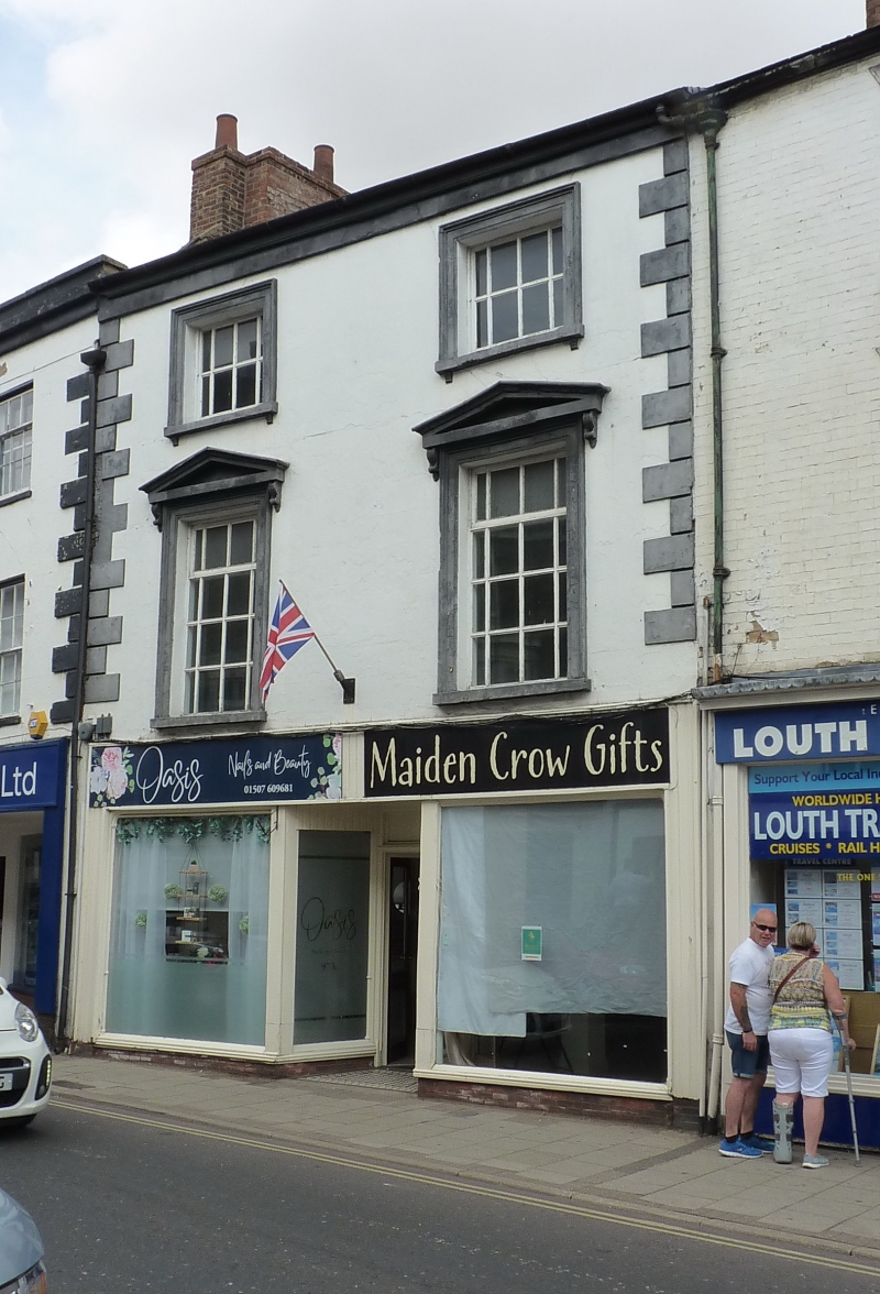
EASTGATE 1. 1348 (North Side) No 97 TF 38 NW 1/176 II GV 2. C18, 3 storeys in brick. Band at eaves Rusticated quotas, 2 windows, moulded surrounds, hung sashes with glazing bars, cills on tabs. 1st floor windows pedimented with consoles. Left hand window breaks forward into shallow rectangular bay with glazing bars. Unsympathetic modern shop front. Nos 57 to 75 (odd), Nos 79 to 103 (odd) with Nos 2 Vickers Lane form a group.
Listing NGR: TF3302787488
External links are from the relevant listing authority and, where applicable, Wikidata. Wikidata IDs may be related buildings as well as this specific building. If you want to add or update a link, you will need to do so by editing the Wikidata entry.


Other nearby listed buildings