Latitude: 52.8801 / 52°52'48"N
Longitude: -0.7093 / 0°42'33"W
OS Eastings: 486954
OS Northings: 332183
OS Grid: SK869321
Mapcode National: GBR CP3.FHL
Mapcode Global: WHGKN.2VHX
Plus Code: 9C4XV7JR+27
Entry Name: The Laurels
Listing Date: 21 September 1979
Grade: II
Source: Historic England
Source ID: 1062339
English Heritage Legacy ID: 193308
ID on this website: 101062339
Location: Denton, South Kesteven, Lincolnshire, NG32
County: Lincolnshire
District: South Kesteven
Civil Parish: Denton
Built-Up Area: Denton
Traditional County: Lincolnshire
Lieutenancy Area (Ceremonial County): Lincolnshire
Church of England Parish: Denton St Andrew
Church of England Diocese: Lincoln
Tagged with: Building
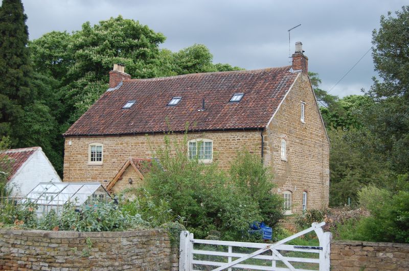
DENTON MAIN STREET SK 8632-8732 (west side) 10/67 The Laurels 21.9.79 II Incorrectly shown as Gatehouse Farm on OS map. House. Late C18 with C19 and C20 alterations and additions. Coursed ironstone rubble and quoins, red brick dressings, red brick, pantile roof with 2 gable brick stacks. 2 storey with garret, 3 bay garden front with corbelled out brick eaves course, has C19 half octagonal brick porch with facetted plain tiled roof and central 6 panelled door with plain fanlight. To either side are single C19 canted bay windows with hipped plain tiled roofs and plain sashes. To first floor 2 three light plain casements with segmental brick heads. Over the porch a Britannia fire insurance plaque. Street front has C19 gabled porch with to lefta 3 light glazing bar casement and to right a 2 light casement under timber lintel. To first floor single 2 light and 3 light glazing bar casements under segmental brick heads. Interior retains late C18 staircase with slender turned balusters.
Listing NGR: SK8695432183
External links are from the relevant listing authority and, where applicable, Wikidata. Wikidata IDs may be related buildings as well as this specific building. If you want to add or update a link, you will need to do so by editing the Wikidata entry.


Other nearby listed buildings