Latitude: 52.6528 / 52°39'10"N
Longitude: -0.482 / 0°28'55"W
OS Eastings: 502782
OS Northings: 307200
OS Grid: TF027072
Mapcode National: GBR FVR.QY1
Mapcode Global: WHGLX.KLN4
Plus Code: 9C4XMG39+45
Entry Name: 6, Barn Hill
Listing Date: 22 May 1954
Grade: II*
Source: Historic England
Source ID: 1062278
English Heritage Legacy ID: 193469
ID on this website: 101062278
Location: Stamford, South Kesteven, Lincolnshire, PE9
County: Lincolnshire
District: South Kesteven
Civil Parish: Stamford
Built-Up Area: Stamford
Traditional County: Lincolnshire
Lieutenancy Area (Ceremonial County): Lincolnshire
Church of England Parish: Stamford All Saints
Church of England Diocese: Lincoln
Tagged with: Building
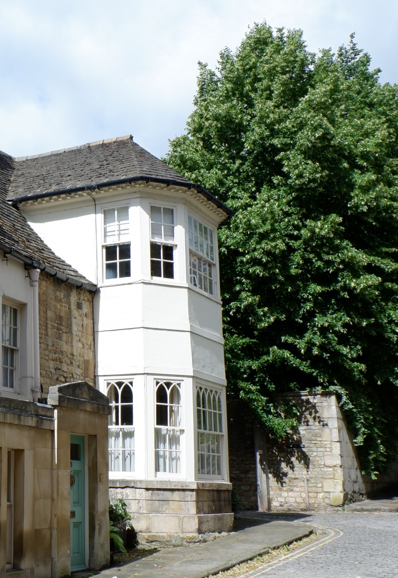
1. 1671 BARN HILL (West Side) UP 0207 1/28 22.5.54. No 6 II* GV 2. A C17 and mid Cl8 house in coursed rubble, under roof of stone slates continuing from No 5. 2 storeys. A large canted bay with flung sash windows in 5 lights to each storey continues to roof level, under a hipped roof with dentil cornice. The ground floor windows have 'Gothic' glazing bars. 1 window on 1st floor to right is a double-hung sash with glazing bars. This section of the house is rendered 6-panel door inset in moulded stone Mare with round head and keystone, Glazed fanlight. Rear wing of rubble with stone slate roof. Mainly of one storey. Former stable block at right angles. Moulding block of 4 steps in yard, at side of Barn Hill House. Interior contains good panelled room.
Nos 2 to 6 (consec), Barn Hill House, Wall & Gatepiers with Gazebo in garden of Barn Hill House form a group.
Listing NGR: TF0278207200
External links are from the relevant listing authority and, where applicable, Wikidata. Wikidata IDs may be related buildings as well as this specific building. If you want to add or update a link, you will need to do so by editing the Wikidata entry.


Other nearby listed buildings