Latitude: 51.2792 / 51°16'45"N
Longitude: 1.2764 / 1°16'35"E
OS Eastings: 628598
OS Northings: 158443
OS Grid: TR285584
Mapcode National: GBR VZN.RJ7
Mapcode Global: VHLGR.23NN
Plus Code: 9F3377HG+MH
Entry Name: The Pharmacy
Listing Date: 26 November 1987
Grade: II
Source: Historic England
Source ID: 1054904
English Heritage Legacy ID: 178096
ID on this website: 101054904
Location: Ash, Dover, Kent, CT3
County: Kent
District: Dover
Civil Parish: Ash
Built-Up Area: Ash
Traditional County: Kent
Lieutenancy Area (Ceremonial County): Kent
Tagged with: Pharmacy
ASH TR 2858 THE STREET (north side) 10/66 No.22 (The Pharmacy) GV II
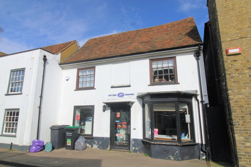
Shop. Early C19 front to C18 building. Rendered with plain tiled roof. Two storeys with moulded eaves cornice to roof with stack to rear. Two glazing bar sashes on first floor and 1 plate glass window to left and canted bay to right on ground floor. Central glazed door. Included for group value.
Listing NGR: TR2859758441
External links are from the relevant listing authority and, where applicable, Wikidata. Wikidata IDs may be related buildings as well as this specific building. If you want to add or update a link, you will need to do so by editing the Wikidata entry.


Other nearby listed buildings