Latitude: 52.6588 / 52°39'31"N
Longitude: -2.3696 / 2°22'10"W
OS Eastings: 375097
OS Northings: 306846
OS Grid: SJ750068
Mapcode National: GBR 070.7QJ
Mapcode Global: WH9DB.KFVK
Plus Code: 9C4VMJ5J+G5
Entry Name: The Uplands
Listing Date: 29 August 1984
Grade: II
Source: Historic England
Source ID: 1053628
English Heritage Legacy ID: 255258
ID on this website: 101053628
Location: Shropshire, TF11
County: Shropshire
Civil Parish: Shifnal
Traditional County: Shropshire
Lieutenancy Area (Ceremonial County): Shropshire
Church of England Parish: Shifnal St Andrew
Church of England Diocese: Lichfield
Tagged with: Building
SJ 70 NE SHIFNAL C.P. HOLYHEAD ROAD (South-West side)
6/53 The Uplands. -
- II
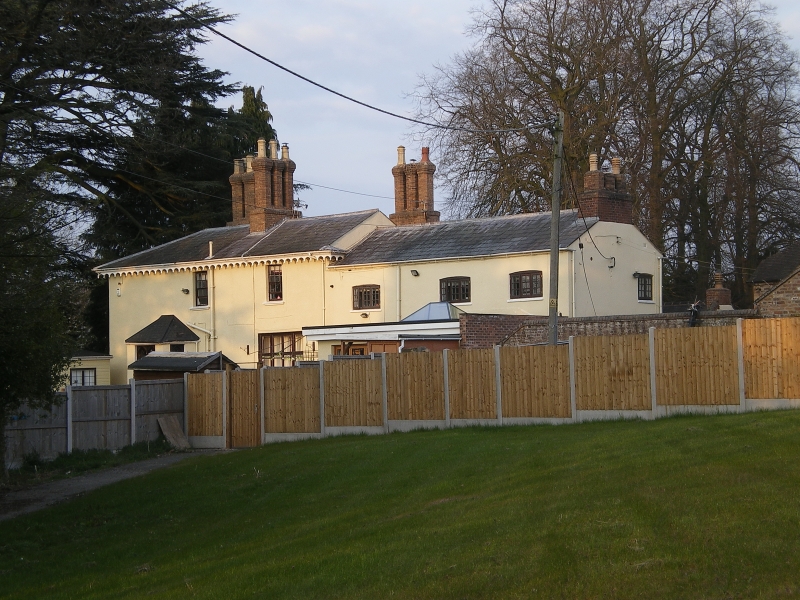
House. Circa 1840. Stucco with hipped slate roof. Tudor Gothic style. 2 storeys. Deep eaves with scalloped eaves boards, and 3 ridge stacks with grouped octagonal shafts. 3 bays, that to right projecting with canted sides; cross windows with moulded mullions and transoms, 4-centred arched top lights, Gothic glazing bars, and returned hoodmoulds. Central canted porch with cornice and coped parapet; 4-centred arched doorway with returned hoodmould, and 2 half glazed doors with 4-centred arched margin lights.
Listing NGR: SJ7509706846
External links are from the relevant listing authority and, where applicable, Wikidata. Wikidata IDs may be related buildings as well as this specific building. If you want to add or update a link, you will need to do so by editing the Wikidata entry.


Other nearby listed buildings