Latitude: 52.8981 / 52°53'53"N
Longitude: 0.9563 / 0°57'22"E
OS Eastings: 598943
OS Northings: 337502
OS Grid: TF989375
Mapcode National: GBR S81.8L4
Mapcode Global: WHLQZ.NFL2
Plus Code: 9F42VXX4+7G
Entry Name: The Windmill
Listing Date: 24 May 1976
Grade: II
Source: Historic England
Source ID: 1049371
English Heritage Legacy ID: 223606
ID on this website: 101049371
Location: Hindringham, North Norfolk, NR21
County: Norfolk
District: North Norfolk
Civil Parish: Hindringham
Traditional County: Norfolk
Lieutenancy Area (Ceremonial County): Norfolk
Church of England Parish: Hindringham St Martin
Church of England Diocese: Norwich
Tagged with: Tower mill
TF 93 NE HINDRINGHAM MILL LANE 3/119 (Lower Green)
24.5.76 The Windmill
II
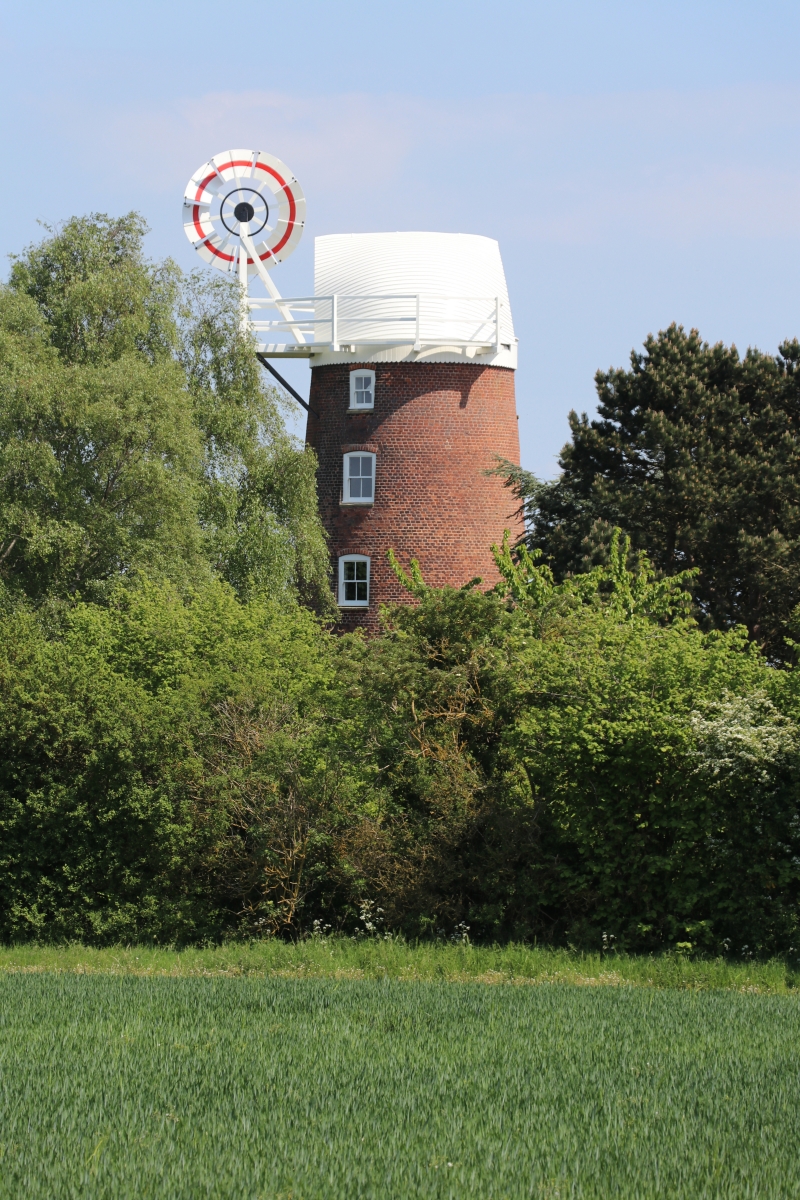
Windmill, probably early-mid C19, brick tower mill converted into dwelling. Circular on plan. Five storeys. Sash windows, some with glazing bars, in segmental headed openings. Glazed door and former first floor loft door above. The cap has been designed so that sails and a fantail can be installed at a later date.
Listing NGR: TF9894337502
External links are from the relevant listing authority and, where applicable, Wikidata. Wikidata IDs may be related buildings as well as this specific building. If you want to add or update a link, you will need to do so by editing the Wikidata entry.


Other nearby listed buildings