Latitude: 51.6689 / 51°40'8"N
Longitude: -1.2951 / 1°17'42"W
OS Eastings: 448842
OS Northings: 196917
OS Grid: SU488969
Mapcode National: GBR 7YQ.9CP
Mapcode Global: VHCY6.H9NY
Plus Code: 9C3WMP93+HW
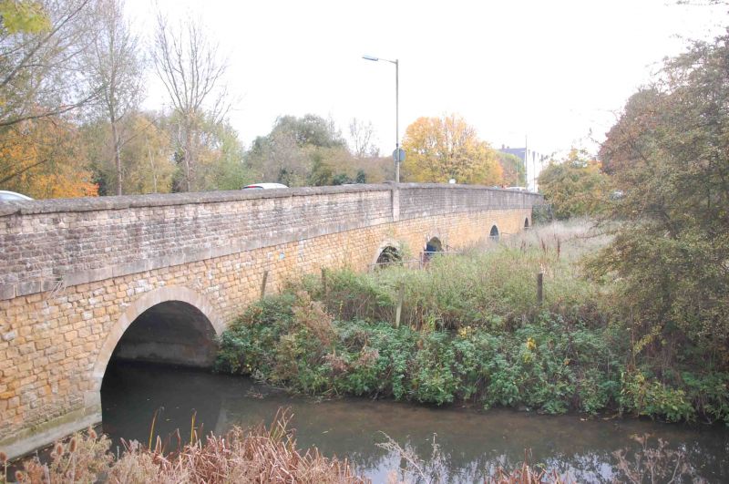
Entry Name: Ock Bridge
Listing Date: 10 December 1971
Grade: II
Source: Historic England
Source ID: 1048827
English Heritage Legacy ID: 250473
ID on this website: 101048827
Location: Caldecott, Vale of White Horse, Oxfordshire, OX14
County: Oxfordshire
District: Vale of White Horse
Civil Parish: Abingdon on Thames
Built-Up Area: Abingdon
Traditional County: Berkshire
Lieutenancy Area (Ceremonial County): Oxfordshire
Church of England Parish: Abingdon-on-Thames
Church of England Diocese: Oxford
1. 752 OCK STREET (South Side)
SU 4896 1/318 Ock Bridge
II
2. Originally C15, rubble, altered and widened on west. Seven arches, one with original ribs. (See E Jervoise, "Ancient Bridges of the South of England" (1930) p 7 VCH. Berks IV, p 434) A.M.
Listing NGR: SU4884296917


Other nearby listed buildings