Latitude: 51.3345 / 51°20'4"N
Longitude: 1.3974 / 1°23'50"E
OS Eastings: 636751
OS Northings: 164973
OS Grid: TR367649
Mapcode National: GBR X0L.64T
Mapcode Global: VHMCW.5QMB
Plus Code: 9F3389MW+RX
Entry Name: Upper Lodge
Listing Date: 4 February 1988
Grade: II
Source: Historic England
Source ID: 1045840
English Heritage Legacy ID: 171910
ID on this website: 101045840
Location: Chilton, Thanet, Kent, CT11
County: Kent
District: Thanet
Civil Parish: Ramsgate
Built-Up Area: Ramsgate
Traditional County: Kent
Lieutenancy Area (Ceremonial County): Kent
Tagged with: Gatehouse
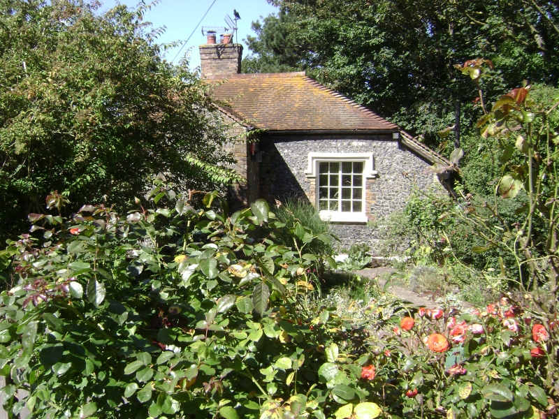
RAMSGATE NETHERCOURT HILL TR 36 SE (west side) 3/277 Upper Lodge GV II Gate Lodge. Mid C19 flint and machine tiled roof. One storey with plinth and quoins to hipped roof with central stack. Paired Y-tracery wooden casements in 2 projecting oriels with cornices, with half-glazed door in gable porch to right return, with keyed arched surround. Extension to rear with label hooded casements. Gate Lodge to Nethercourt, the house now demolished, the park now publicly owned. Probably for Rev. G.W. Sicklemore.
Listing NGR: TR3675164973
External links are from the relevant listing authority and, where applicable, Wikidata. Wikidata IDs may be related buildings as well as this specific building. If you want to add or update a link, you will need to do so by editing the Wikidata entry.


Other nearby listed buildings