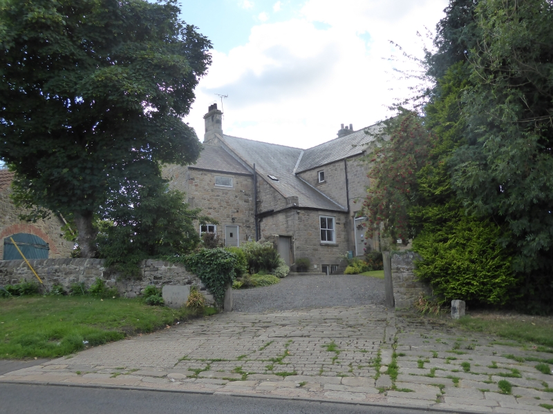
Latitude: 54.9586 / 54°57'31"N
Longitude: -1.8514 / 1°51'4"W
OS Eastings: 409614
OS Northings: 562675
OS Grid: NZ096626
Mapcode National: GBR HCH3.Z8
Mapcode Global: WHC3M.JMLH
Plus Code: 9C6WX45X+CC
Entry Name: The Grange and West Grange
Listing Date: 7 March 1985
Grade: II
Source: Historic England
Source ID: 1044951
English Heritage Legacy ID: 239492
ID on this website: 101044951
Location: Prudhoe, Northumberland, NE42
County: Northumberland
Civil Parish: Prudhoe
Built-Up Area: Prudhoe
Traditional County: Northumberland
Lieutenancy Area (Ceremonial County): Northumberland
Church of England Parish: Prudhoe St Mary Magdalene
Church of England Diocese: Newcastle
Tagged with: Building
NZ 06 SE PRUDHOE SOUTH ROAD
18/137 The Grange and West Grange formerly known as Prudhoe Grange
II
House now subdivided into two. C13 with later medieval alterations. Outshut added C18. Further additions and extensive remodelling late C19 and early C20. Rendered with Welsh slate roof. Two storeys. One wide left bay and 3 narrow bays to right. Walls 4 feet thick. At left a C13 doorway with 2 orders of columns with crocket capitals and multi-moulded arch with nailhead. Above the arch is a medieval stone crowned head. C20 door and flanking canted bays at right,. C19 sashes on 1st floor. Further short stretch of nailhead frieze at top right. Gabled roof with raised flat coping; external ashlar corniced end stacks.
interior has medieval external masonry exposed in bathroom including blocked window and wood lintel. Further masonry in bedroom including C16 fireplace with roll-moulded surround and relieving arch over.
The house was a chantry chapel from the C13. The C13 doorway is in the correct position for the south door of a church so is probably in situ.
Northumberland County History Vol. XII.
Listing NGR: NZ0961462675
External links are from the relevant listing authority and, where applicable, Wikidata. Wikidata IDs may be related buildings as well as this specific building. If you want to add or update a link, you will need to do so by editing the Wikidata entry.


Other nearby listed buildings