Latitude: 55.0498 / 55°2'59"N
Longitude: -1.7437 / 1°44'37"W
OS Eastings: 416475
OS Northings: 572838
OS Grid: NZ164728
Mapcode National: GBR JB81.9L
Mapcode Global: WHC39.5BYM
Plus Code: 9C7W27X4+WG
Entry Name: Vicarage Tower
Listing Date: 27 August 1952
Grade: II
Source: Historic England
Source ID: 1042721
English Heritage Legacy ID: 238814
ID on this website: 101042721
Location: Ponteland, Northumberland, NE20
County: Northumberland
Civil Parish: Ponteland
Built-Up Area: Ponteland
Traditional County: Northumberland
Lieutenancy Area (Ceremonial County): Northumberland
Church of England Parish: Ponteland St Mary the Virgin
Church of England Diocese: Newcastle
PONTELAND MAIN STREET NZ 1672 (North side) 27/323 Vicarage Tower 27.8.52
GV II
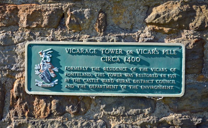
Tower house. Said to be C14, but existing remains appear C16 or early C17. Random rubble patched with brick. 3 storeys. c.24 x 20 ft. in plan.
On south side 3 large openings with C20 lintels.
On west side a blocked C16 door with chamfered surround; also a roof groove and holes for roof timbers of former adjoining wing. One chamfered jamb of the doorway into this wing also survives with harr post and drawbar slot. Blocked door on 1st floor has part of early-medieval grave cover with Celtic cross, used as jamb stone. Two C16 windows with chamfered surrounds. Roof groove of former attached wing.
A controlled ruin at time of survey.
Listing NGR: NZ1647572838


Other nearby listed buildings