Latitude: 55.7698 / 55°46'11"N
Longitude: -2.0033 / 2°0'11"W
OS Eastings: 399890
OS Northings: 652935
OS Grid: NT998529
Mapcode National: GBR G1GQ.2J
Mapcode Global: WH9YK.679N
Plus Code: 9C7VQX9W+WM
Entry Name: 26, Marygate
Listing Date: 26 May 1971
Grade: II
Source: Historic England
Source ID: 1042490
English Heritage Legacy ID: 237354
ID on this website: 101042490
Location: Berwick-upon-Tweed, Northumberland, TD15
County: Northumberland
Civil Parish: Berwick-upon-Tweed
Built-Up Area: Berwick-upon-Tweed
Traditional County: Northumberland
Lieutenancy Area (Ceremonial County): Northumberland
Church of England Parish: Berwick Holy Trinity and St Mary
Church of England Diocese: Newcastle
Tagged with: Building
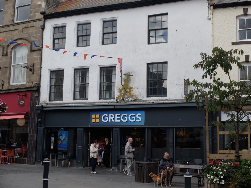
1. 840 MARYGATE (North Side) No 26 NT 9952 11/128 II GV 2. Stuccoed ashlar, red tiled roof with brick chimneys and scroll kneelers, 3 storeys. Shop front on ground floor, 4 new sash windows on 1st floor, 3 12-paned and 1 16-paned windows on top floor. Part of Town Hall group.
Nos 2 to 18 (even) and 24 and 26 form a group.
Listing NGR: NT9990152934
External links are from the relevant listing authority and, where applicable, Wikidata. Wikidata IDs may be related buildings as well as this specific building. If you want to add or update a link, you will need to do so by editing the Wikidata entry.


Other nearby listed buildings