Latitude: 50.8649 / 50°51'53"N
Longitude: -0.622 / 0°37'19"W
OS Eastings: 497070
OS Northings: 108170
OS Grid: SU970081
Mapcode National: GBR FHX.RK3
Mapcode Global: FRA 96LT.7J0
Plus Code: 9C2XV97H+X5
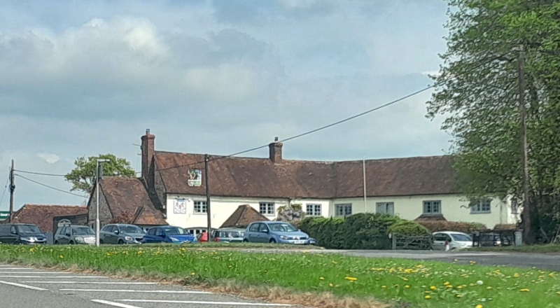
Entry Name: The Spur Public House
Listing Date: 20 September 1984
Grade: II
Source: Historic England
Source ID: 1039945
English Heritage Legacy ID: 361770
ID on this website: 101039945
Location: Slindon, Arun, West Sussex, BN18
County: West Sussex
District: Arun
Civil Parish: Slindon
Traditional County: Sussex
Lieutenancy Area (Ceremonial County): West Sussex
Church of England Parish: Slindon St Mary
Church of England Diocese: Chichester
Tagged with: Pub
SU 9608 SLINDON LONDON ROAD 22/291 The Spur Public House
II
L-shaped C18 building, named after the first owner of Dale Park, Madehurst, whose gates it adjoins. Sir George Thomas built that house in 1784-8 and died in 1815. Two storeys. Seven windows. Stuccoed. Tiled roof. Casement windows.
Listing NGR: SU9707008170
External links are from the relevant listing authority and, where applicable, Wikidata. Wikidata IDs may be related buildings as well as this specific building. If you want to add or update a link, you will need to do so by editing the Wikidata entry.


Other nearby listed buildings