Latitude: 52.6767 / 52°40'36"N
Longitude: -2.1761 / 2°10'33"W
OS Eastings: 388190
OS Northings: 308791
OS Grid: SJ881087
Mapcode National: GBR 18D.2NQ
Mapcode Global: WHBFC.JZZC
Plus Code: 9C4VMRGF+MH
Entry Name: 2, School Road
Listing Date: 16 May 1953
Last Amended: 28 March 1985
Grade: II
Source: Historic England
Source ID: 1039346
English Heritage Legacy ID: 271393
ID on this website: 101039346
Location: Brewood, South Staffordshire, ST19
County: Staffordshire
District: South Staffordshire
Civil Parish: Brewood and Coven
Built-Up Area: Brewood
Traditional County: Staffordshire
Lieutenancy Area (Ceremonial County): Staffordshire
Church of England Parish: Brewood St Mary and St Chad
Church of England Diocese: Lichfield
Tagged with: Building
BREWOOD C.P. SCHOOL ROAD SJ 8808-8908 (West side)
13/84 No. 2 (Formerly listed 16.5.53 as "The Mansions")
G.V. II
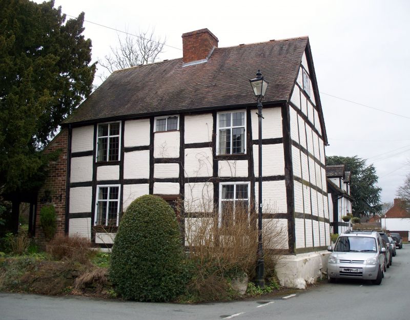
House. C17. Timber framed with small square panels; clay tile roof; central brick stack. 2 bay lobby entry plan. 2 storeys and gable lit attic; mostly C20 casements; C20 door.
Listing NGR: SJ8819008791
External links are from the relevant listing authority and, where applicable, Wikidata. Wikidata IDs may be related buildings as well as this specific building. If you want to add or update a link, you will need to do so by editing the Wikidata entry.


Other nearby listed buildings