Latitude: 52.0748 / 52°4'29"N
Longitude: 0.9513 / 0°57'4"E
OS Eastings: 602348
OS Northings: 245931
OS Grid: TM023459
Mapcode National: GBR SKX.TKF
Mapcode Global: VHKF7.F3RT
Plus Code: 9F423XF2+WG
Entry Name: Barrard's Hall
Listing Date: 10 July 1980
Grade: II
Source: Historic England
Source ID: 1037036
English Heritage Legacy ID: 277126
ID on this website: 101037036
Location: Whatfield, Babergh, Suffolk, IP7
County: Suffolk
District: Babergh
Civil Parish: Whatfield
Traditional County: Suffolk
Lieutenancy Area (Ceremonial County): Suffolk
Church of England Parish: Whatfield St Margaret
Church of England Diocese: St.Edmundsbury and Ipswich
Tagged with: Building
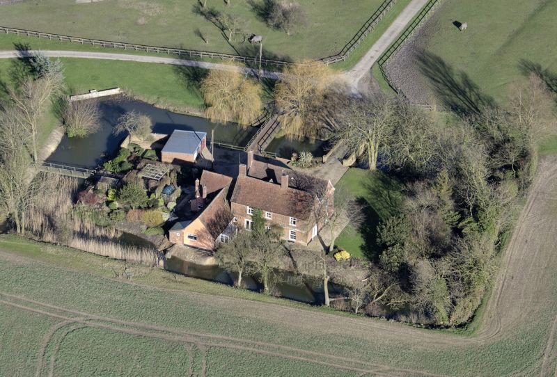
WHATFIELD 1. 5377 Barrard's Hall TM 04 NW 38/974 II 2. C18. A red brick fronted building with a tiled roof. Two storeys. Three window range of double-hung sashes with glazing bars, in flush cased frames. A central doorway has a Tuscan doorcase with plain columns and a pediment. A raised brick band extends across the front between the storeys.
Listing NGR: TM0234845931
External links are from the relevant listing authority and, where applicable, Wikidata. Wikidata IDs may be related buildings as well as this specific building. If you want to add or update a link, you will need to do so by editing the Wikidata entry.


Other nearby listed buildings