Latitude: 52.2496 / 52°14'58"N
Longitude: -1.3889 / 1°23'20"W
OS Eastings: 441816
OS Northings: 261450
OS Grid: SP418614
Mapcode National: GBR 7QF.X9X
Mapcode Global: VHBXS.WQ38
Plus Code: 9C4W6JX6+VC
Entry Name: Brown's Bridge
Listing Date: 7 January 1952
Grade: II
Source: Historic England
Source ID: 1035585
English Heritage Legacy ID: 307187
ID on this website: 101035585
Location: Southam, Stratford-on-Avon, Warwickshire, CV47
County: Warwickshire
District: Stratford-on-Avon
Civil Parish: Southam
Built-Up Area: Southam
Traditional County: Warwickshire
Lieutenancy Area (Ceremonial County): Warwickshire
Church of England Parish: Southam St James
Church of England Diocese: Coventry
Tagged with: Bridge
SOUTHAM BANBURY ROAD SP4161 (East side) 13/57 Brown's Bridge 07/01/52
- II
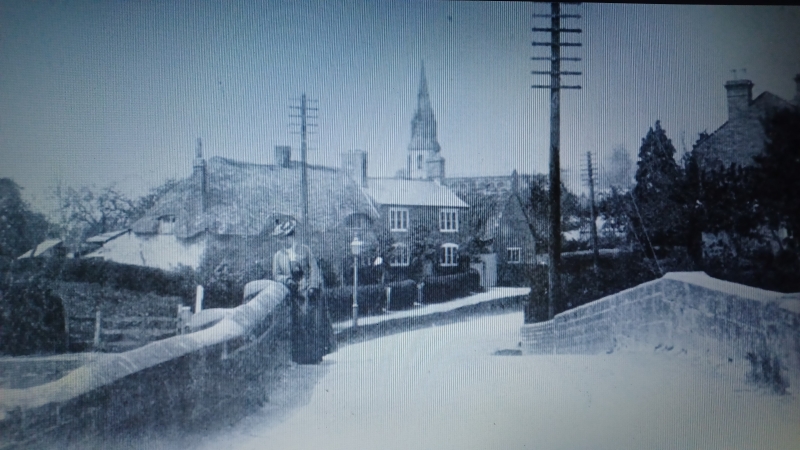
Bridge. Dated 17? (said to be 1710). Sandstone ashlar, of 2 arches with keyblocks, with flanking and central pilasters and parapet. Central pilaster is inscribed with names of those who built the bridge, and the date, now worn and damaged. Some brick patching to parapet.
Listing NGR: SP4181661450
External links are from the relevant listing authority and, where applicable, Wikidata. Wikidata IDs may be related buildings as well as this specific building. If you want to add or update a link, you will need to do so by editing the Wikidata entry.


Other nearby listed buildings