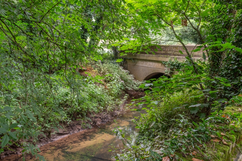
Latitude: 52.5185 / 52°31'6"N
Longitude: -1.6363 / 1°38'10"W
OS Eastings: 424777
OS Northings: 291240
OS Grid: SP247912
Mapcode National: GBR 5JC.14W
Mapcode Global: VHBW9.LYBQ
Plus Code: 9C4WG997+9F
Entry Name: River Bridge
Listing Date: 11 November 1952
Grade: II
Source: Historic England
Source ID: 1034791
English Heritage Legacy ID: 309037
ID on this website: 101034791
Location: Furnace End, North Warwickshire, B46
County: Warwickshire
District: North Warwickshire
Civil Parish: Over Whitacre
Traditional County: Warwickshire
Lieutenancy Area (Ceremonial County): Warwickshire
Church of England Parish: Whitacres, Lea Marston and Shustoke
Church of England Diocese: Birmingham
OVER WHITACRE COLESHILL ROAD SP2491 Furnace End 15/132 River bridge 11/11/52 GV II Bridge. C14/C15, widened C17 and again 1925. Squared and coursed sandstone. Originally 4'0 wide. Single arch of 4 chamfered ribs. C17 widening with round headed arch, and parapet of squared sandstone.
Listing NGR: SP2477791240


Other nearby listed buildings