Latitude: 50.6834 / 50°41'0"N
Longitude: -1.0957 / 1°5'44"W
OS Eastings: 463980
OS Northings: 87476
OS Grid: SZ639874
Mapcode National: GBR BFM.5SH
Mapcode Global: FRA 87L8.GYD
Plus Code: 9C2WMWM3+9P
Entry Name: Bembridge Windmill
Listing Date: 16 April 1953
Grade: I
Source: Historic England
Source ID: 1034383
English Heritage Legacy ID: 310040
ID on this website: 101034383
Location: Bembridge, Isle of Wight, PO35
County: Isle of Wight
Civil Parish: Bembridge
Built-Up Area: Bembridge
Traditional County: Hampshire
Lieutenancy Area (Ceremonial County): Isle of Wight
Church of England Parish: Bembridge Holy Trinity
Church of England Diocese: Portsmouth
Tagged with: Windmill
BEMBRIDGE SZ68NW Bembridge Windmill 1352-0/2/1 16/04/53 I
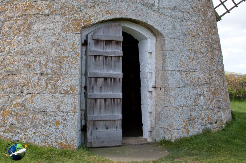
Windmill, c1700. Tower type. Built of Isle of Wight stone rubble, the south side cement rendered, with wooden cap and sails. 3 stages. The lowest stage has 2 cambered stone arched openings, the top has square stone openings. Wooden cogged eaves cornice. Boat-shaped wooden cap, fantail and four sweeps. Interior has a remarkable survival of early C18 wooden machinery. The bin floor has the cap and turning gear, the great brake wheel and windshaft turning the sack hoist, the wallower and grain bins. The stone floor has the alarm bell, damsel, runner stone, bed stone, tun and grain hopper. The machine floor has the bran shuttle, tun and great spur wheel. The building was sketched by JMW Turner in 1795 and was in continuous use until 1897. From 1897 to 1915 it was used only for cattle feed. In 1962 it was taken over by the National Trust. The steps between the first and second floor have the inscription 'E Beker 1746 AC' but other inscriptions have been found which could be 1701 although this is not at all clear. The mill accords with the date of the barn to the mill house, the 3 buildings probably being erected about the same time. (NATIONAL TRUST HANDBOOK).
Listing NGR: SZ6398087476
External links are from the relevant listing authority and, where applicable, Wikidata. Wikidata IDs may be related buildings as well as this specific building. If you want to add or update a link, you will need to do so by editing the Wikidata entry.


Other nearby listed buildings