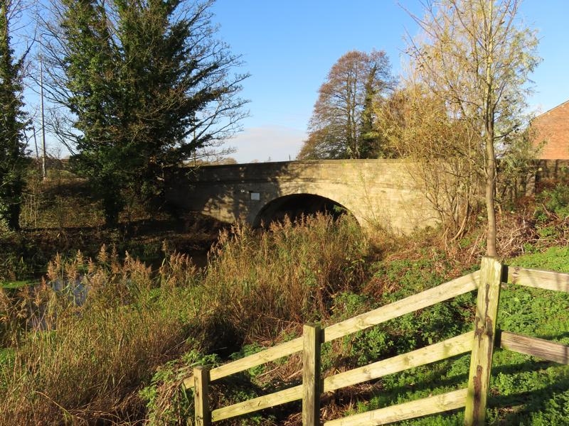
Latitude: 53.6759 / 53°40'33"N
Longitude: -2.8191 / 2°49'8"W
OS Eastings: 345986
OS Northings: 420246
OS Grid: SD459202
Mapcode National: GBR 8TRY.G1
Mapcode Global: WH85Y.NVRW
Plus Code: 9C5VM5GJ+98
Entry Name: Canal Bridge (Number 11)
Listing Date: 11 October 1968
Last Amended: 2 December 1986
Grade: II
Source: Historic England
Source ID: 1031385
English Heritage Legacy ID: 357751
ID on this website: 101031385
Location: Tarleton, West Lancashire, PR26
County: Lancashire
District: West Lancashire
Civil Parish: Tarleton
Traditional County: Lancashire
Lieutenancy Area (Ceremonial County): Lancashire
Church of England Parish: Tarleton Holy Trinity
Church of England Diocese: Blackburn
Tagged with: Bridge
TARLETON BANK BRIDGE SD 42 SE 4/48 Canal Bridge (No.11) (formerly listed as in Windgate Lane) 11.10.1968 GV II
Public road bridge over Leeds-Liverpool Canal "new cut" from Burscough to Tarleton. Probably c.1790. Squared sandstone. Elliptical portal with dressed voussoirs, band, parapet with rounded coping, pilastered ends to curved outer ends of keepers.
Listing NGR: SD4598620246
External links are from the relevant listing authority and, where applicable, Wikidata. Wikidata IDs may be related buildings as well as this specific building. If you want to add or update a link, you will need to do so by editing the Wikidata entry.


Other nearby listed buildings