Latitude: 50.8775 / 50°52'38"N
Longitude: -0.6438 / 0°38'37"W
OS Eastings: 495514
OS Northings: 109542
OS Grid: SU955095
Mapcode National: GBR FHQ.S3B
Mapcode Global: FRA 96JS.C0Q
Plus Code: 9C2XV9G4+XF
Entry Name: The Folly
Listing Date: 20 September 1984
Grade: II
Source: Historic England
Source ID: 1027567
English Heritage Legacy ID: 298083
Also known as: Slindon Folly
ID on this website: 101027567
SU 90NE SLINDON COURT HILL 8/286 The Folly
II
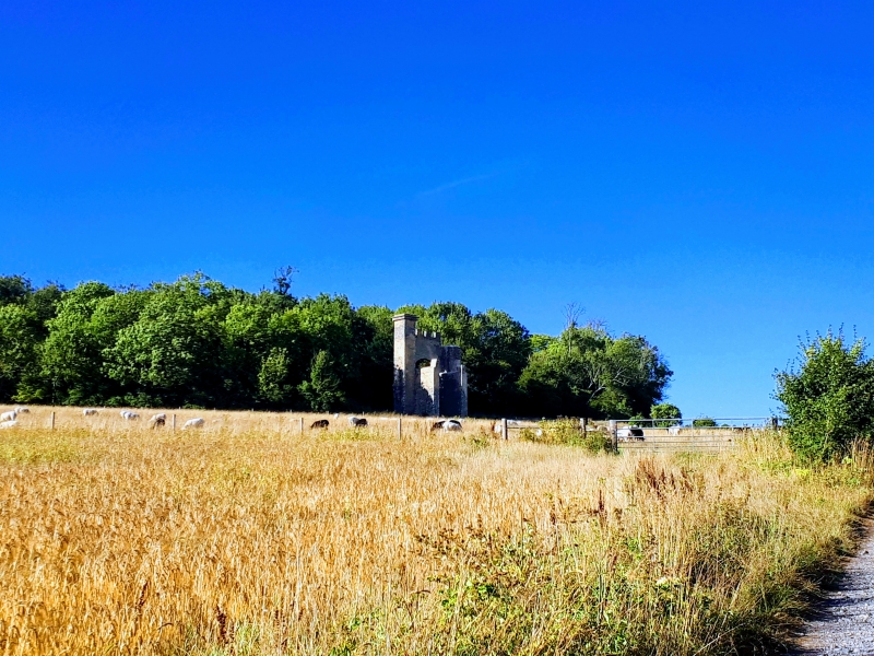
Room built for luncheons on shooting parties. Early C19 "eye-catcher", built of flints. It forms an archway flanked by octagonal turrets and buttresses with room behind. Also known as Nore Folly.
Listing NGR: SU9551409542
External links are from the relevant listing authority and, where applicable, Wikidata. Wikidata IDs may be related buildings as well as this specific building. If you want to add or update a link, you will need to do so by editing the Wikidata entry.


Other nearby listed buildings