Latitude: 50.8962 / 50°53'46"N
Longitude: -0.8616 / 0°51'41"W
OS Eastings: 480159
OS Northings: 111366
OS Grid: SU801113
Mapcode National: GBR CDK.QZG
Mapcode Global: FRA 962Q.XWH
Plus Code: 9C2XV4WQ+F9
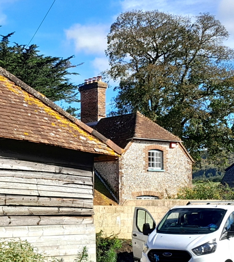
Entry Name: Manor Farmhouse
Listing Date: 28 January 1986
Grade: II
Source: Historic England
Source ID: 1026190
English Heritage Legacy ID: 301300
ID on this website: 101026190
Location: Stoughton, Chichester, West Sussex, PO18
County: West Sussex
District: Chichester
Civil Parish: Stoughton
Traditional County: Sussex
Lieutenancy Area (Ceremonial County): West Sussex
Church of England Parish: Octagon
Church of England Diocese: Chichester
Tagged with: Farmhouse
STOUGHTON STOUGHTON VILLAGE SU 8011-8111 (south east side of the road)
35/309 Manor Farmhouse - - II
C17. Two storeys and attic. Three windows. Faced with roughcast. Tiled roof. One large gable with attic window and one small gable. Casement windows. Gabled porch.
Listing NGR: SU8015911366
External links are from the relevant listing authority and, where applicable, Wikidata. Wikidata IDs may be related buildings as well as this specific building. If you want to add or update a link, you will need to do so by editing the Wikidata entry.


Other nearby listed buildings