Latitude: 54.9701 / 54°58'12"N
Longitude: -1.6055 / 1°36'19"W
OS Eastings: 425349
OS Northings: 564008
OS Grid: NZ253640
Mapcode National: GBR SQF.68
Mapcode Global: WHC3R.9BPQ
Plus Code: 9C6WX9CV+2Q
Entry Name: Trinity House
Listing Date: 14 June 1954
Grade: I
Source: Historic England
Source ID: 1024931
English Heritage Legacy ID: 304433
ID on this website: 101024931
Location: Battle Field, Newcastle upon Tyne, Tyne and Wear, NE1
County: Newcastle upon Tyne
Electoral Ward/Division: Ouseburn
Parish: Non Civil Parish
Built-Up Area: Newcastle upon Tyne
Traditional County: Northumberland
Lieutenancy Area (Ceremonial County): Tyne and Wear
Church of England Parish: Newcastle Christ Church
Church of England Diocese: Newcastle
Tagged with: House
NZ 2564 SW NEWCASTLE UPON TYNE BROAD CHARE (west side)
21/128 Trinity House Nos. 4, 5 and 6 14.6.54
G.V. I
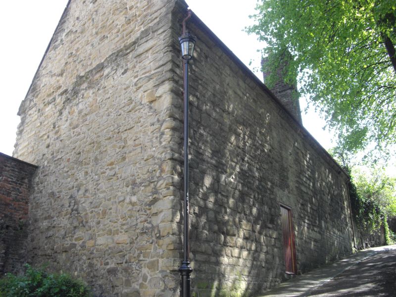
Storage building, later rigging loft and dwellings, now storage and empty offices. Early C16. Sandstone with Welsh slate roof. South elevation to Trinity House yard: 3 storeys, 4 bays. Wide architraves to 5-panelled doors in bays 3, 4 and 6. Almost regular fenestration. Sash windows with glazing bars in C20 architraves; narrow casement at left end of first floor; chamfered surround to small square casement on second floor at left; similarly-shaped blocked openings at intervals on second floor. 2-storey buttress between fourth and fifth bays; probable garderobe chute at right end, with small square window inserted. Steeply-pitched end gables have overlapping stone coping and eroded carved finials. Sundial dated 1721 at centre of second floor possibly resited. Interior shows very strong first floor on corbels; king-post roof with arched tie beam. Source: McCombie "The Buildings of Trinity House, Newcastle upon Tyne" Archaeologia Aeliana 5th series XIII.
Listing NGR: NZ2534964008
External links are from the relevant listing authority and, where applicable, Wikidata. Wikidata IDs may be related buildings as well as this specific building. If you want to add or update a link, you will need to do so by editing the Wikidata entry.


Other nearby listed buildings